Project date: 5 May 2025
https://campaign-lab-constituency-explorer.c6digital.dev/
Problem addressed
Built with our friends at C6, the Constituency Explorer is an institutional map of every constituency in Britain designed to equip campaigners with the data they need to understand the places they operate in. What is the state of education in my town? How prevalent are foodbanks? Which services are successfully provided by the state and, where state provision falls short, where does civic society step up to fill the gaps? We all know the national narrative around community decline in the abstract, but what does that mean for the social fabric of my area in concrete terms?
The answers to these questions could form the core of a compelling campaign narrative, but finding those answers requires, before anything else, visibility and knowledge of the institutions – the schools, charities, community centres and civic hubs – upon which those answers depend. This explorer consolidates diverse datasets into a single resource, enabling campaigners to discover insights and craft powerful, evidence-based narratives about their constituencies.
Approach & Implementation
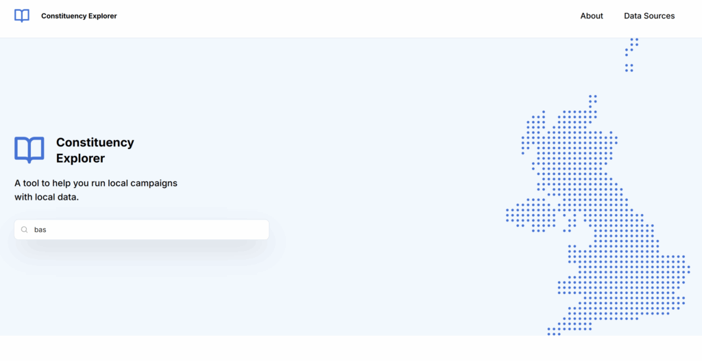
Users land on a page that invites them to enter the name of their constituency (or a postcode – the tool automatically converts postcodes into constituencies):
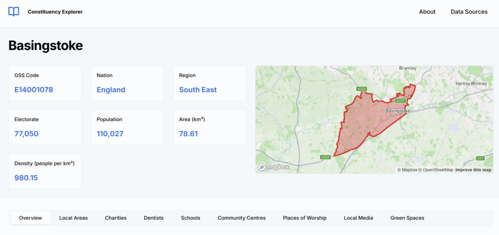
The tool then produces a overview of the institutional profile in the constituency alongside key electoral and geographical information:
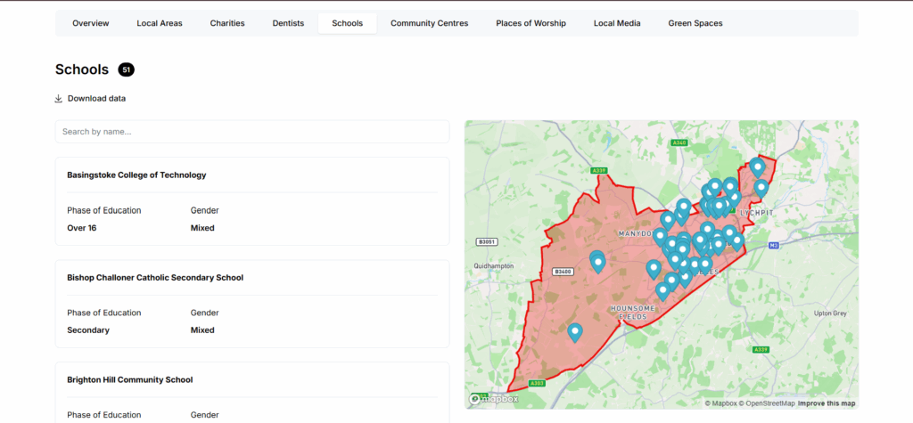
Users can then drill down into individual data sets – each data point is listed with further detail and their geographical location is represented on the constituency map:
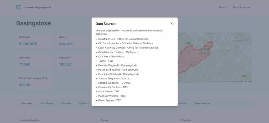
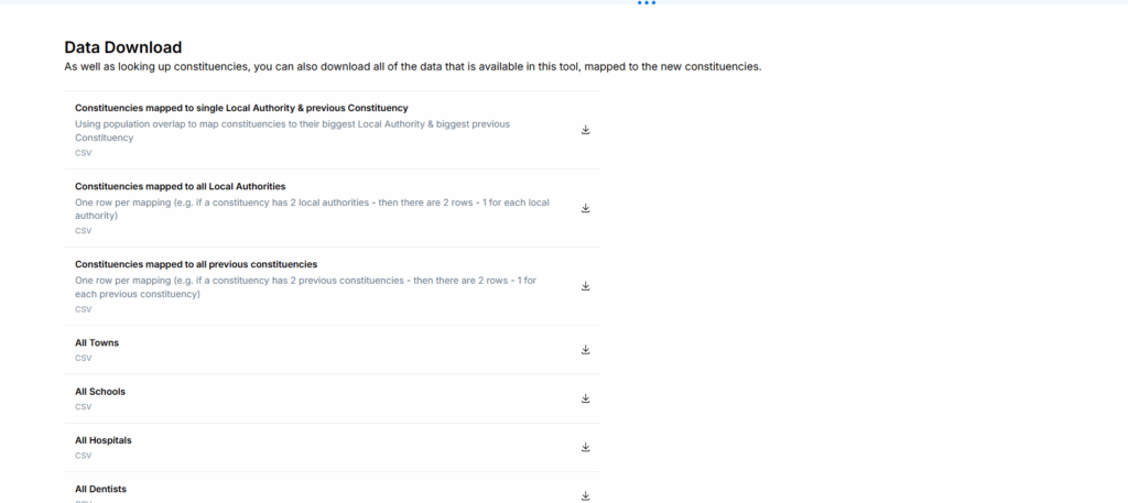
Users can navigate to the ‘Data Sources’ button to quickly see the sources for all data used, and each data set is downloadable from the tool both in aggregate and by issue for each constituency:
Call to action
Contact: [email protected]
7 May 2025