Project date: 1 May 2023
Problem Addressed
Political communication is mediated by constituency – different messages resonate differently in different constituencies. As a result, you often want to those messages to differ by constituency.
Many datasets that might be used to help target political communications do not record individuals’ location by constituency but instead do so by postcode, however, making it difficult to target people at the constituency level.
This tool remedies this by converting those postcodes into Westminster constituencies (by the latest 2023 boundaries).
Approach & Implementation
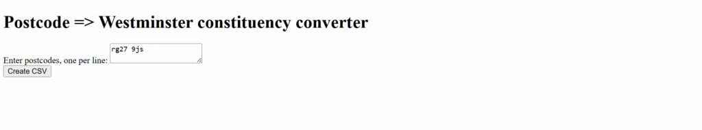
This tool has a functional UI that invites users to enter their postcodes on a one per line basis (making it well suited to pasting postcodes from spreadsheets):
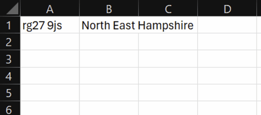
The tool then exports a csv containing the original postcode and the corresponding Westminster constituency:
Whether its for data analysis or political communications, this tool makes converting postcodes into Westminster constituencies a problem of the past.
Resources
- Documentation link: https://github.com/CampaignLab/election-postcode-constituency-boundary-mapper/blob/main/README.md
- Code repository: https://github.com/CampaignLab/election-postcode-constituency-boundary-mapper
For more information contact: [email protected]
7 May 2025